
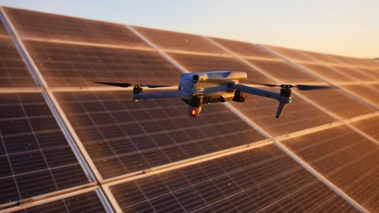
Our Aerial Asset Intelligence Solutions
Drone Inspections & Visual Documentation
High-resolution aerial imagery for roofs, commercial properties, solar installations, towers, and other hard-to-access assets—providing clear visual documentation while reducing the need for ladders, lifts, and unnecessary site access.
See What Others Can't Easily Reach.
SkyPix provides professional aerial visual documentation for roofs, commercial properties, solar installations, towers, and other difficult-to-access assets. Our aerial capture methods provide detailed imagery from a safe operating position, helping property owners, contractors, facility teams, and service professionals evaluate visible conditions without unnecessary access equipment.
We organize imagery around your areas of interest and deliver a clear digital record your team can review, share, and reference from the office.
What We Can Document
Roofs
Shingles, flashing, gutters, chimneys, vents, skylights, visible damage, and roof-mounted equipment.
Commercial Buildings
Exterior facades, rooftops, HVAC equipment, access areas, parking areas, and other visible building components.
Solar Installations
Panels, arrays, racking, mounting systems, access areas, and visible installation conditions.
Towers & Infrastructure
Antennas, equipment, mounting areas, visible corrosion, and other specified areas of interest.
Hard-to-Access Areas
Elevated or difficult-to-reach locations where aerial imagery can provide useful visual documentation.
Why aerial documentation?
A Better View Without the Extra Access Equipment
Aerial documentation can help reduce the need for:
Ladders
Scaffolding
Lift equipment
Repeated site visits
Difficult access
Unnecessary disruption
Instead, SkyPix can capture high-resolution imagery from an appropriate operating position and deliver it digitally for review.
-
Starting at $250 + tax
Aerial visual documentation for residential and commercial roofs, exterior structures, and other elevated areas that are difficult or inefficient to access from the ground.
What’s included:
25+ high-resolution aerial images
Roof and exterior condition imagery
Wide-area and detailed views
Areas-of-interest documentation
Organized digital image delivery
Basic visual documentation report
Secure client delivery
Best for:
Property owners
Property managers
Roofing contractors
Real estate professionals
-
Custom Quote
For commercial buildings, facilities, industrial properties, and other large or complex assets.
Best for:
Property managers
Facility teams
Building owners
Roofing contractors
Maintenance companies
Commercial real estate
-
Starting at $450 + tax
High-resolution aerial imagery of solar arrays, panels, racking, access areas, and other visible components.
Best for:
Solar contractors
Property owners
Commercial facilities
Maintenance teams
Project documentation
-
Starting at $250 + tax
How Aerial Asset Documentation Works
1. Define
Identify the property, asset, and specific areas of interest.
2. Plan
SkyPix evaluates the mission requirements, operating environment, and appropriate capture approach.
3. Capture
We collect high-resolution aerial imagery from planned perspectives and distances.
4. Organize
Images are sorted according to the project scope and areas of interest.
5. Deliver
Your documentation is provided digitally through your SkyPix delivery system.
6. Review
Your team can review, share, and retain the imagery for maintenance planning, project documentation, or follow-up evaluation
Important: SkyPix Imagery & Solutions provides aerial visual documentation and does not provide engineering, structural, safety, code-compliance, or other professional certifications. Imagery is intended to support visual review, documentation, maintenance planning, and related business decisions.
Ready to Document Your Asset?
Tell us what you need documented, where the asset is located, and what areas you're concerned about. We'll confirm the project scope, availability, and pricing before your mission.